Checking the case and its evidence…MODEL SCENARIO
Compare service retained with the same demand and resources.
—
Planned dose obligations / original demand
Inspect the response and evidence →Search and audit status appear after verification.
One plan connects household demand, service sessions, transport and cold-chain resources. When conditions change, see how the plan adapts and how much service it retains.
Measured through accessibility and resilience. Model scenarios; field effectiveness is not yet established.
Planned dose obligations / original demand
Inspect the response and evidence →Search and audit status appear after verification.
Loading and verifying the latest accepted results…
ACCESSIBILITY & RESILIENCE
ACCESSIBILITY
Loading planned service and unmet demand.
Groups, household travel and extra burden →RESILIENCE
The fixed plan and optimization use the same demand denominator.
Explore the response, costs and remaining gaps →ONE CONNECTED SOLUTION
Demand, session locations, household travel and time windows determine who can be served. Separate the travel target from the declared acceptance limit, and retain every unmet obligation.
Demand and household conditions → session plansCoordinate inventory, cold boxes, cooling packs, vehicles and staff. Match routes, weight and capacity to the original cold-chain protection clock.
Existing resources and cold supply → feasible deliveryCompare three policies for changes known before dispatch. A separate in-transit recovery example checks tasks, positions, resources and remaining protection time.
Declared event and state → adapt, recover or retain gapsACCESSIBILITY / HOUSEHOLDS AND SERVICE
Read coverage alongside each group’s demand. Household burden counts planned household/session visits; unmet obligations remain separate.
Targets and acceptance limits follow the declared case rules.
Inspect household results and evidence →C2 household access evidence: Checking household burden under rain conditions.
RESILIENCE / DISRUPTION RESPONSE
Results vary by disruption and search status; some scenarios retain gaps.
WHAT CHANGED
—
HOW THE PLAN RESPONDED
—
RUNNING COST CHANGE
—INR_ESTIMATE · post-solve activity cash estimate
—
ENABLING THE TWO GOALS
Clinical, transport, custody and monitoring roles support a plan that can be carried out.
Vehicles, cold boxes, net available cooling packs and cold supply enable delivery and disruption response.
Separate run cash, first-year cash, later annual cash and economic cost to understand the price of retaining service.
Current activity cash appears after result verification.
The annual workload assumes 48 rounds. Rupee costs are calculated after solving and do not reselect routes. Payers are proposed; full clinical and procurement costs remain incomplete.
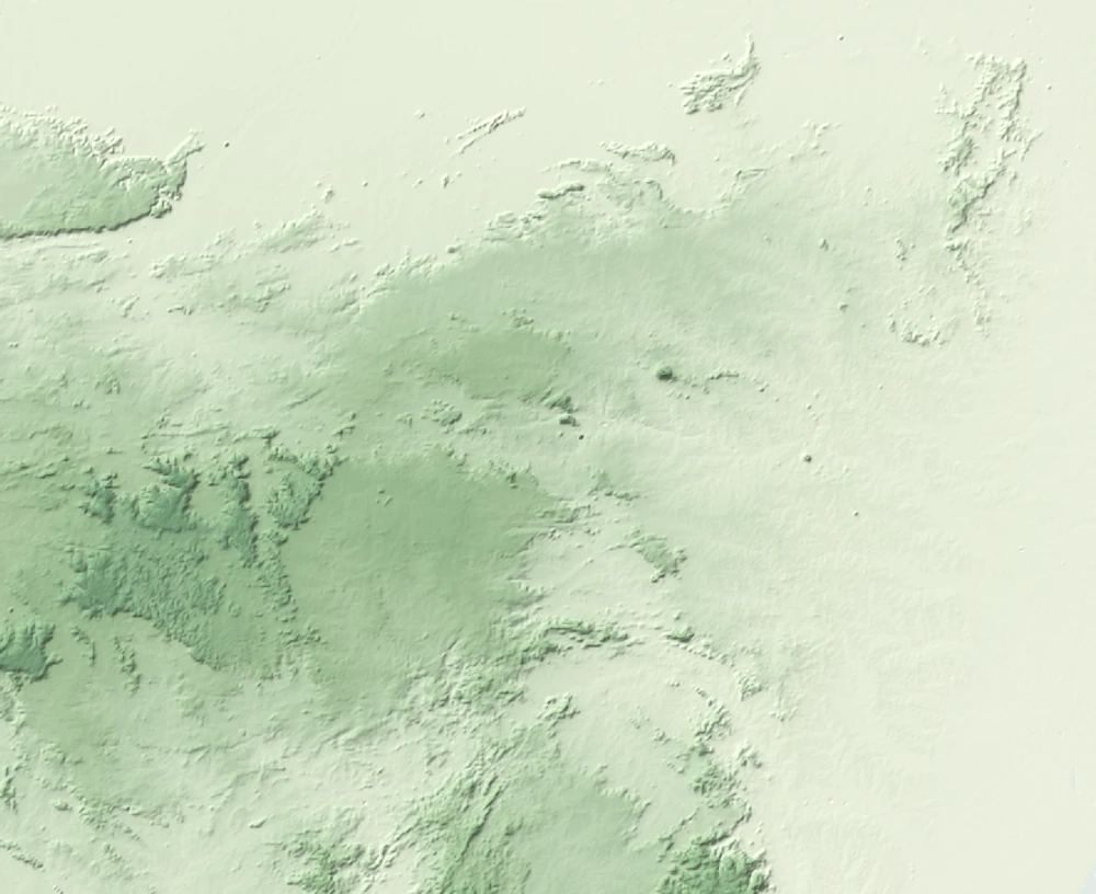
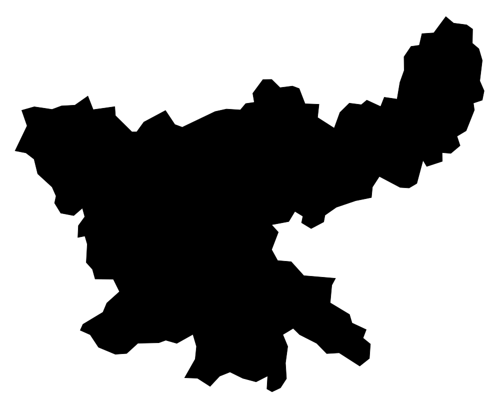
Compare annual costs and investment →JHARKHAND / CASE EXPLORER
These structured demonstrations make the algorithm’s decisions and computational feasibility inspectable: one village, difficult household access, and a shared multi-village network. Each tests the same method under a different planning challenge.
An independently audited plan shows feasibility for its declared inputs and constraints. Explore how the method responds, which service it can retain and where gaps remain. The synthetic cases have different purposes and scales; service totals do not rank them, and their outcomes do not predict another village’s results.
Choose a case on the map or in the list.
A REUSABLE METHOD / LOCAL CONFIGURATION
Use a matching case as a planning structure. Replace it with local conditions, then compute and validate a fresh result.
Use C1 for a single service location, C2 when household access is the main constraint, or C3 when several villages share resources. These patterns can be combined when local needs overlap.
Supply local demand, session locations and windows, road travel and closures, household journeys, stock, staff, vehicles, cold-chain performance and budget assumptions.
Recompute against a matching reference with the same local resources and disruption. Audit feasibility, inspect access and remaining gaps, check search limits and scale, then validate execution in a local pilot.
The current workspace lets you change demand, near/remote splits, session windows, ambient conditions and declared acceptance limits within each preset. Roads, stock, vehicles, staff and equipment still belong to that case. A real new-village deployment requires a complete local configuration through the model integration process; changing a place name does not replace those conditions.
Local input verification and a pilot are needed before claiming comparable field effects. Larger configurations also need runtime and search-capability checks. Unknown inputs remain missing; they are not filled with zero or copied outcomes.
Read the configuration and transfer scope →The transferable result is the planning method. Another village receives its own calculation and evidence.
MODEL & EVIDENCE
All three policies share the original demand, resource pool, household rules, budget cap and known disruption. Search completion applies only to declared finite candidates; an audit pass does not establish field effectiveness.
Checking result bindings…
Planned doses are not observed vaccinations. Household acceptance rules are declared assumptions. A temperature excursion does not automatically mean discard; loss-value sensitivity is not realized procurement saving.
The browser verifies the reviewed runtime parameter JSON. The complete original source snapshot is checked locally; workbooks and internal source documents are not published.